Pipestone National Monument
Circle and Quarry Trails
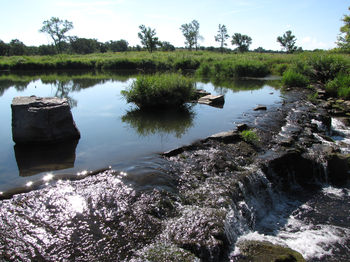
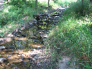
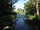
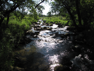
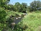
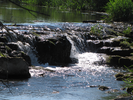
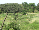
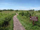
Crickets and frogs, water and wind. Quiet beauty fills this place, a backdrop to the traditions of quarrying and pipemaking.
The short trail is filled with surprises, water ripple and rock and blossom filled prairie.
Visit, and let the quiet beauty fill you.
- Approach
-
From the McDonalds at the southern merging of Interstate Hwy 75 and Hwy 23 in Pipestone, Minnesota, follow 75 straight north 0.9 miles to 111th St.
Turn left at 111th St. and follow it west 1.2 miles into Pipestone National Monument.
Inside the national monument, the road name changes to North Reservation Avenue, and it gradually curves right till it reaches a loop parking lot next to the Visitor Center. Enter the visitor center to pay an entrance fee.
Coordinates for the hike: 44.0129360,-96.3255500
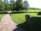
- Parking / Trailhead amenities
- The parking lot is paved and level with plenty of room. There is a visitor center with clean restrooms and drinking water.
Inside the visitor center are demonstrations of pipe making and quite a few interesting exhibits. You can spend a lot of time in the visitor center! - Trail observations
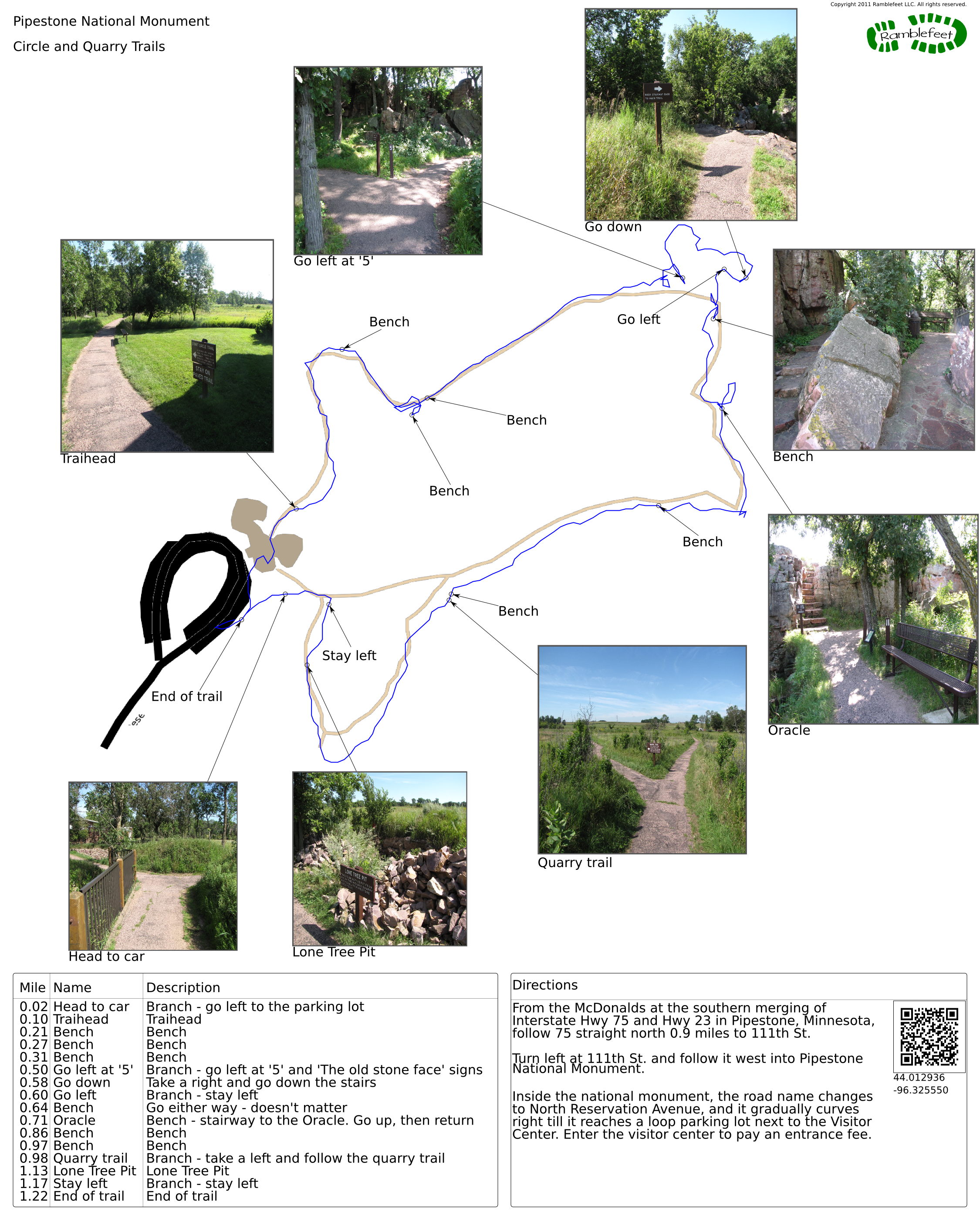
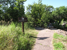
- There is an overhead sign in the middle of the visitors center pointing to a door that leads to the Circle trail. The trail begins just outside the door.
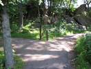
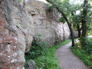
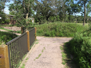
The trail is paved and generally wide, though there are a few spots along the cliff where it narrows.
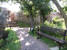
There are several benches along the trail, which is good because this is a trail to be enjoyed slowly. - Trail statistics
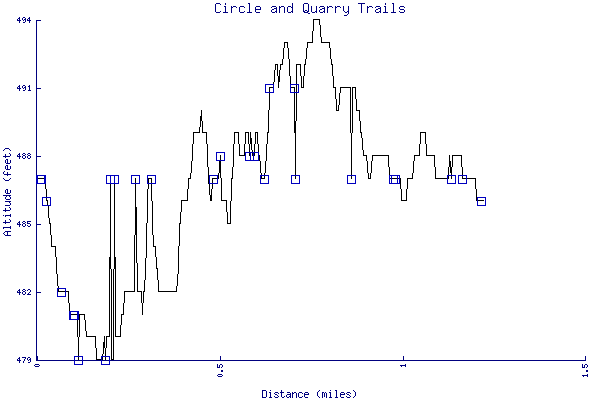
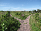
- The trail is 1.22 miles long. The sum of all the uphill climbs is 48 feet.
- Trail waypoints
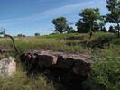
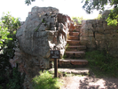
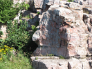
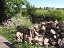
0.02 mi Head to car Branch - go left to the parking lot 0.10 mi Traihead Traihead 0.21 mi Bench Bench 0.27 mi Bench Bench 0.31 mi Bench Bench 0.50 mi Go left at '5' Branch - go left at '5' and 'The old stone face' signs 0.58 mi Go down Take a right and go down the stairs 0.60 mi Go left Branch - stay left 0.64 mi Bench Go either way - doesn't matter 0.71 mi Oracle Bench - stairway to the Oracle. Go up, then return 0.86 mi Bench Bench 0.97 mi Bench Bench 0.98 mi Quarry trail Branch - take a left and follow the quarry trail 1.13 mi Lone Tree Pit Lone Tree Pit 1.17 mi Stay left Branch - stay left 1.22 mi End of trail End of trail


- Keywords
- Difficulty: Easy
- Terrain : Flat
- Trail surface: Paved
- Type: Loop
- View: Open
- County: Pipestone
- State: Minnesota
- Country: United States of America
- Resources
- Printable trail map in PDF format (22 Mb download)
- Printable trail map in PNG format (4 Mb download)
- Waypoints in CSV format
- Waypoints in KML format
- Instructions on using a trail description page
- Instructions on using a trail map printout
- Trails in the surrounding area
- Area map for Minnesota, North Dakota, and South Dakota (3 additional trails)
- Area map for Minnesota, North Dakota, South Dakota, and Wisconsin (6 additional trails)
- Area map for Iowa, Minnesota, Nebraska, and South Dakota (3 additional trails)
- Area map for Iowa, Minnesota, Nebraska, and South Dakota (5 additional trails)
Copyright © 2011 RambleFeet LLC. All rights reserved.