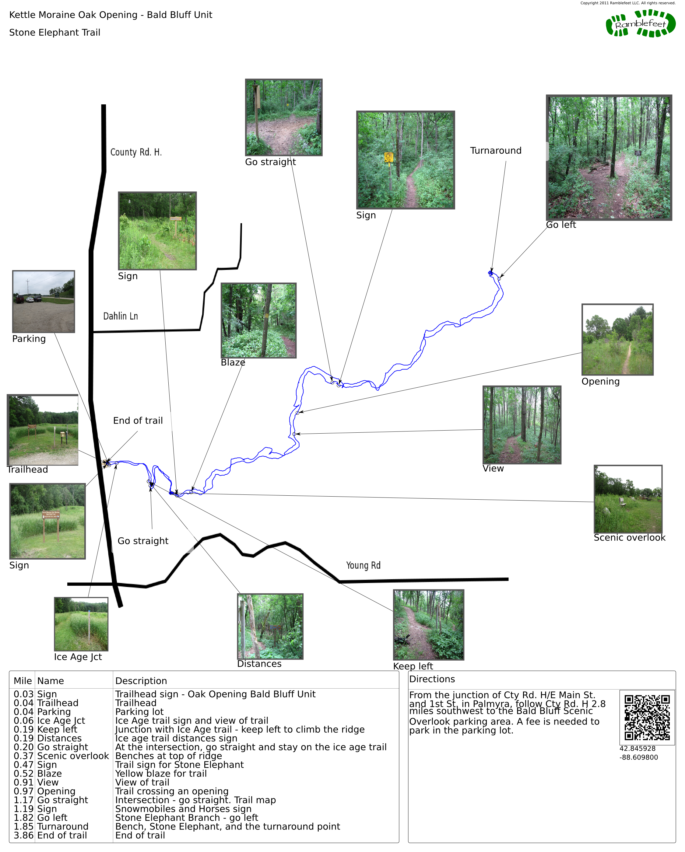
Kettle Moraine Oak Opening - Bald Bluff Unit
Stone Elephant Trail
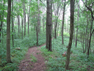
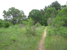
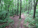
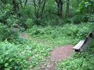
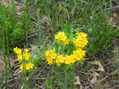
The stone elephant is a glacial erratic found along the ice age trail. The trail winds up and down glacial ridges through shaded groves and small patches of prairie. Not too far from the start of the trail you will find a ridgetop overlook complete with a pair of benches, a nice place to begin and end the hike.
- Approach
-
From the junction of Cty Rd. H/E Main St. and 1st St. in Palmyra, follow Cty Rd. H 2.8 miles southwest to the Bald Bluff Scenic Overlook parking area. A fee is needed to park in the parking lot.
Coordinates for the hike: 42.8459280,-88.6098000
- Trail observations
- The trail exits directly from the parking lot. There are trail brochures available at the trailhead. This hike leaves the parking lot and after a short walk connects to the Ice Age Trail. The Ice Age trail continues to the stone elephant, and at that point I recommend you turn around and retrace your steps to the parking lot.
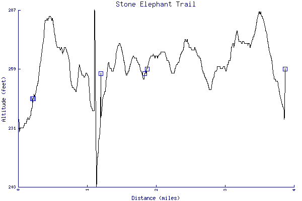
- Trail statistics
- The trail is 3.86 miles long. The sum of all the uphill climbs is 296 feet.
- Trail waypoints
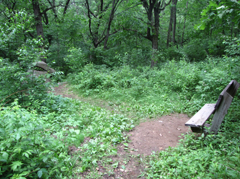
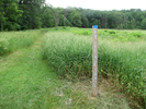
0.03 mi Sign Trailhead sign - Oak Opening Bald Bluff Unit 0.04 mi Trailhead Trailhead 0.04 mi Parking Parking lot 0.06 mi Ice Age Jct Ice Age trail sign and view of trail 0.19 mi Keep left Junction with Ice Age trail - keep left to climb the ridge 0.19 mi Distances Ice age trail distances sign 0.20 mi Go straight At the intersection, go straight and stay on the ice age trail 0.37 mi Scenic overlook Benches at top of ridge 0.47 mi Sign Trail sign for Stone Elephant 0.52 mi Blaze Yellow blaze for trail 0.91 mi View View of trail 0.97 mi Opening Trail crossing an opening 1.17 mi Go straight Intersection - go straight. Trail map 1.19 mi Sign Snowmobiles and Horses sign 1.82 mi Go left Stone Elephant Branch - go left 1.85 mi Turnaround Bench, Stone Elephant, and the turnaround point 3.86 mi End of trail End of trail
- Keywords
- Difficulty: Easy
- Terrain : Hilly
- Trail surface: Dirt
- View: Open
- View: Wooded
- County: Jefferson
- State: Wisconsin
- Country: United States of America
- Resources
- Printable trail map in PDF format (34 Mb download)
- Printable trail map in PNG format (2 Mb download)
- Waypoints in CSV format
- Waypoints in KML format
- Instructions on using a trail description page
- Instructions on using a trail map printout
- Trails in the surrounding area
- Area map for Illinois, Iowa, and Wisconsin (1 additional trail)
- Area map for Illinois, Michigan, and Wisconsin (No additional trails)
- Area map for Illinois, Iowa, and Wisconsin (1 additional trail)
- Area map for Illinois, Indiana, Michigan, and Wisconsin (1 additional trail)
Copyright © 2011 RambleFeet LLC. All rights reserved.